

Wake County, North Carolina, boasts an extensive and evolving road network that supports its rapidly growing population and thriving economy. From highways and interstates to local roads and planned developments, Wake County’s road infrastructure plays a crucial role in regional connectivity and transportation efficiency.
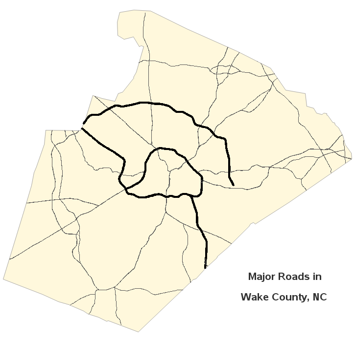
Major Highways and Interstates
Wake County is well-connected by several key highways and interstates that facilitate travel within the county and beyond:
Interstate 40 (I-40): A major east-west corridor that connects Raleigh to major cities such as Durham and Greensboro.
Interstate 440 (I-440): Commonly known as the Raleigh Beltline, this loop provides access to various neighborhoods and business districts in the capital city.
Interstate 540 (I-540): The Northern Wake Expressway, a partial beltway around Raleigh, helps ease congestion and improve regional connectivity.
U.S. Highway 1 (US-1): A critical north-south route that connects Wake County to cities like Cary, Apex, and Sanford.
U.S. Highway 64 (US-64): An important east-west highway linking the Research Triangle area to the eastern parts of North Carolina.
U.S. Highway 70 (US-70): A vital road that supports local and commercial traffic between Wake County and neighboring regions.
Local and Regional Roadways
Wake County features a comprehensive network of local roads that enhance accessibility and mobility. Key routes include:
Capital Boulevard (US-1/US-401): A major commercial corridor serving downtown Raleigh and the northern suburbs.
Glenwood Avenue (NC-50): A key road connecting downtown Raleigh to RDU International Airport and the Brier Creek area.
NC Highway 55: A significant route serving western Wake County communities like Holly Springs and Fuquay-Varina.
Planned and Ongoing Road Projects
As Wake County continues to experience population growth and urban expansion, several road improvement projects are underway to enhance traffic flow and infrastructure resilience. Notable projects include:
Complete 540 Project: The ongoing extension of I-540, which aims to complete the beltway around Raleigh, improving connectivity and reducing congestion.
I-440 Widening Project: Designed to increase capacity and improve traffic conditions along the Raleigh Beltline.
U.S. 1 Expansion: A project to widen the highway between Cary and Apex to accommodate increasing commuter traffic.
Local Road Enhancements: Investments in new roundabouts, bike lanes, and pedestrian-friendly pathways to improve urban mobility.
Navigational Resources
For residents and visitors seeking detailed road maps and real-time traffic updates, several resources are available:
Wake County GIS Mapping Services: Provides interactive maps for road networks, zoning, and land development.
NCDOT Traffic and Road Conditions: Offers live traffic updates and construction alerts.
City and Town Maps: Municipal governments provide localized maps highlighting key roads, public transit routes, and planned developments.